Theses are the approximate route maps for our trip using Google Maps. We generally tried to use the smaller roads that may not appear on Google Maps. For more information contact me directly.
France Segment, 1,251 km:
Ireland Segment, 924 km:
And the gear from the trip!
Over
the years I have learned to just put up with the load! I was probably carrying
around 50 Pounds of gear, including the water and daily foods and additionally the
bicycle weight was also 38 pounds.
We
did not carry any camping equipment. We stayed in small hotels, a few fancy
ones, and B&Bs. We eat breakfasts at our lodging (usually included in the
price), lunch was a picnic on the road. We either carried food from the night
before or bought stuff on the road for lunch, dinner was at
restaurants in town. My lunch was usually a sandwich bought on the road or one I
made with cheese & smoked salmon, and a banana, and an apple for snacks.
By
the way I carried maps (generally at 1 to 100,000, or maximum 200,000). In France
these were the Michelin Maps (best maps ever). For Ireland, I found Irish Survey maps which
were the most detailed and had all of the small roads identified, but they did
not have names or road designations on them that existed on the actual small road. So may be the next generation of the survey
maps will include the small road designations and names to make life easier.
The
electronic systems (Garmin & Phone GPS) sometimes got confused and send us
in wrong places or identified roads that were not actually roads! We also relied on local people which appeared
out of nowhere when we were lost (or sent the wrong way by the electronic
devices) and looking to find which way to go. People of Ireland are amazingly friendly and
helpful and will always help if they can in anyway.
Here are our final trip stats for our recent France and Ireland adventure. You can see all of the trip information in the previous blogs, from the oldest to the newest below.
Thank you for coming along with us.
Today marks the end of an amazing bicycle adventure, when after we rode 56 km, and a total trip of 2,140 km, we rode into Dublin, dropped off our gear at the hotel and quickly took the two bicycles to the closest bicycle shop "Penny Farthing Bicycles" to have them boxed for the airline return trip to Seattle on Thursday.
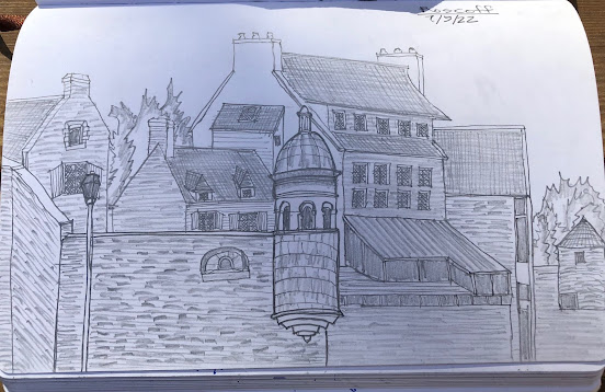
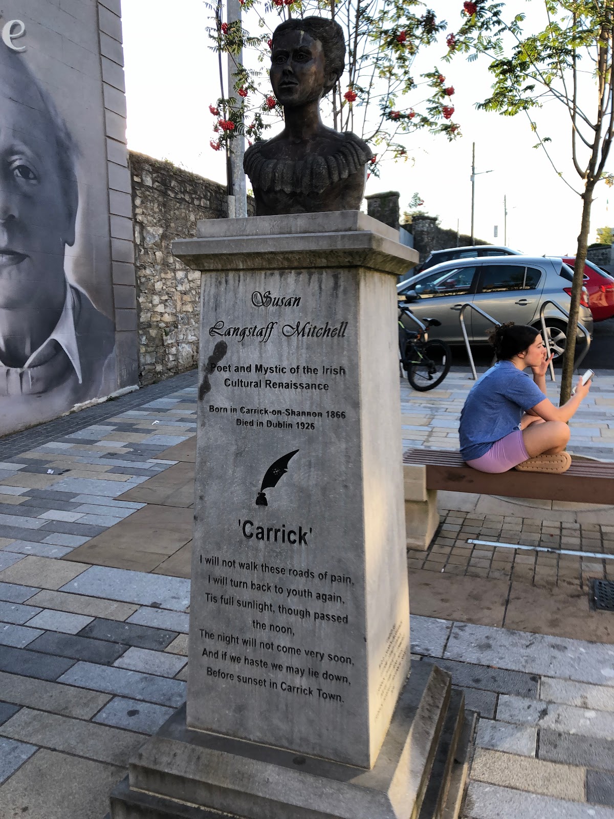
We started five days ago in Sligo on the NW coast of Ireland and headed SE. Our first stop was in Carrick-on-Shannon, a 54 km hilly ride with EG of 1,460 ft. It was a semi sunny day, hilly, with views of farms, lakes and creeks. After arriving at our hotel I was outside watching the bicycles while Anne as usual went to check us in and work her charm for a nice room.
While waiting, a bar attendant from the hotel bar saw me and came out and started a conversation about our trip. Then she asked if we knew about the canal path to Dublin. Since we hadn't, she told me about the Royal Canal that runs all the way to Dublin!
At dinner that night we heard from our waiter that his mad bicyclist girlfriend had ridden from Dublin all the way back on the Canal Path. We we went back to our room, Anne got on Booking and cancelled our planned stay and booked us new rooms along the Canal.
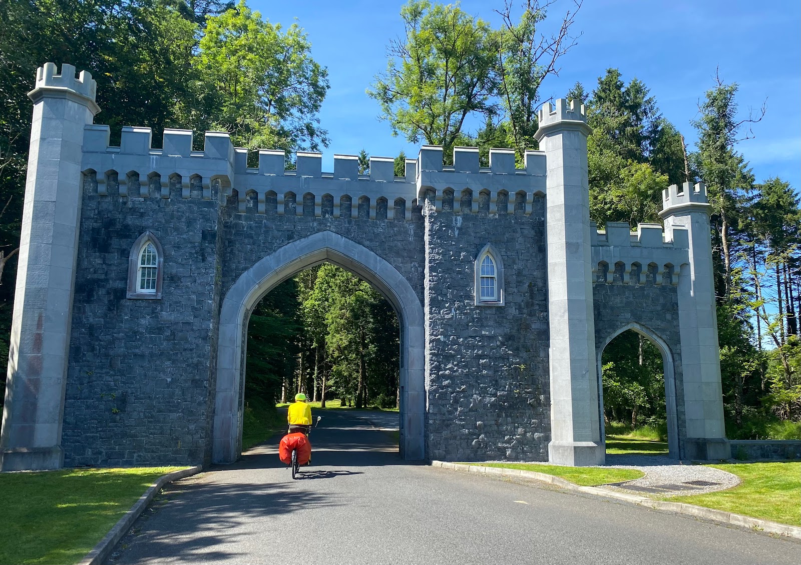
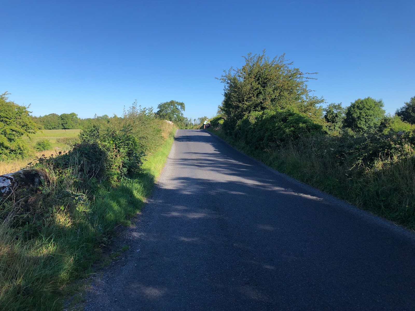
The next day we left Carrick at 10:00 am and followed N4 which had a shoulder for 18 km. Then small roads for another 40 km for a total of 59 km EG of 1,400 ft, to Rathowen. It was a sunny day and the elevation stayed above 400 ft going to 700 ft then down and up again.
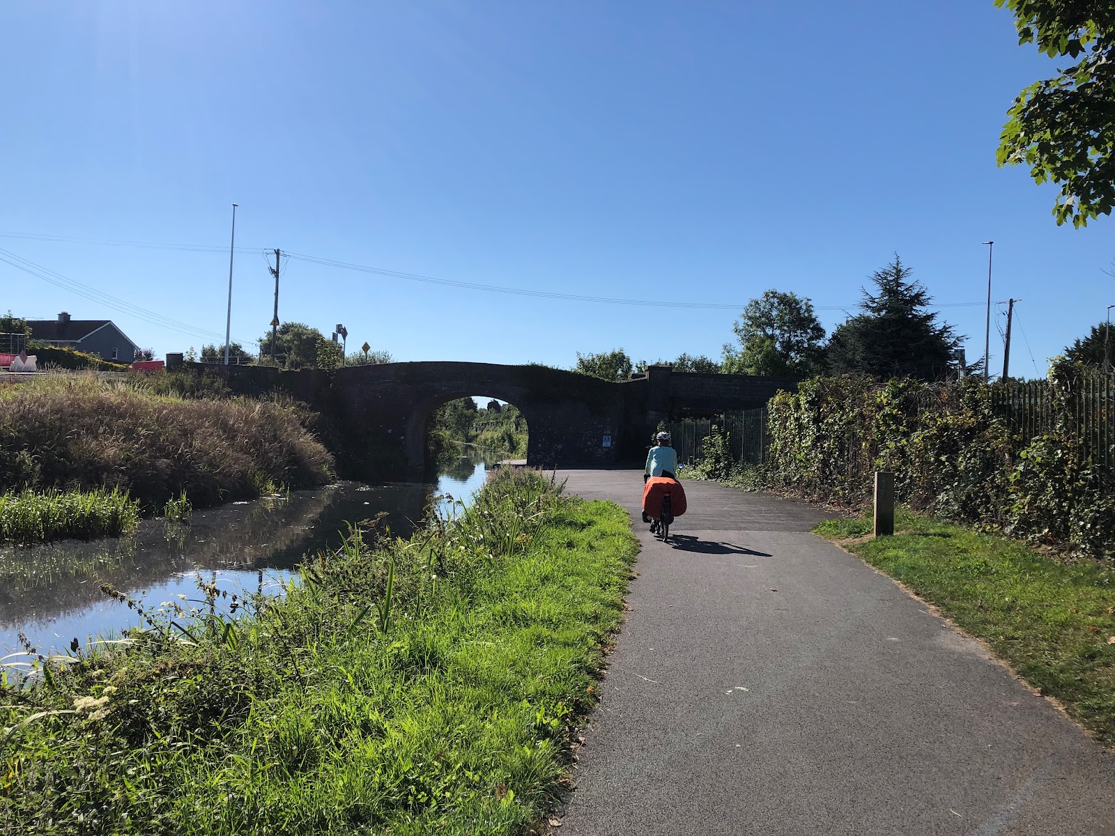
From Rathowen we rode south for 12 km and connected with the Royal Canal and rode on the path for the rest of the day. We rode 31km and EG was 427 ft. At about 20 km we stopped at Lock 26 and met Wesley, the shop owner and had drinks and Ice cream with our lunch. It was a warm sunny day and the path flat. We arrived in Mullingar for the night.
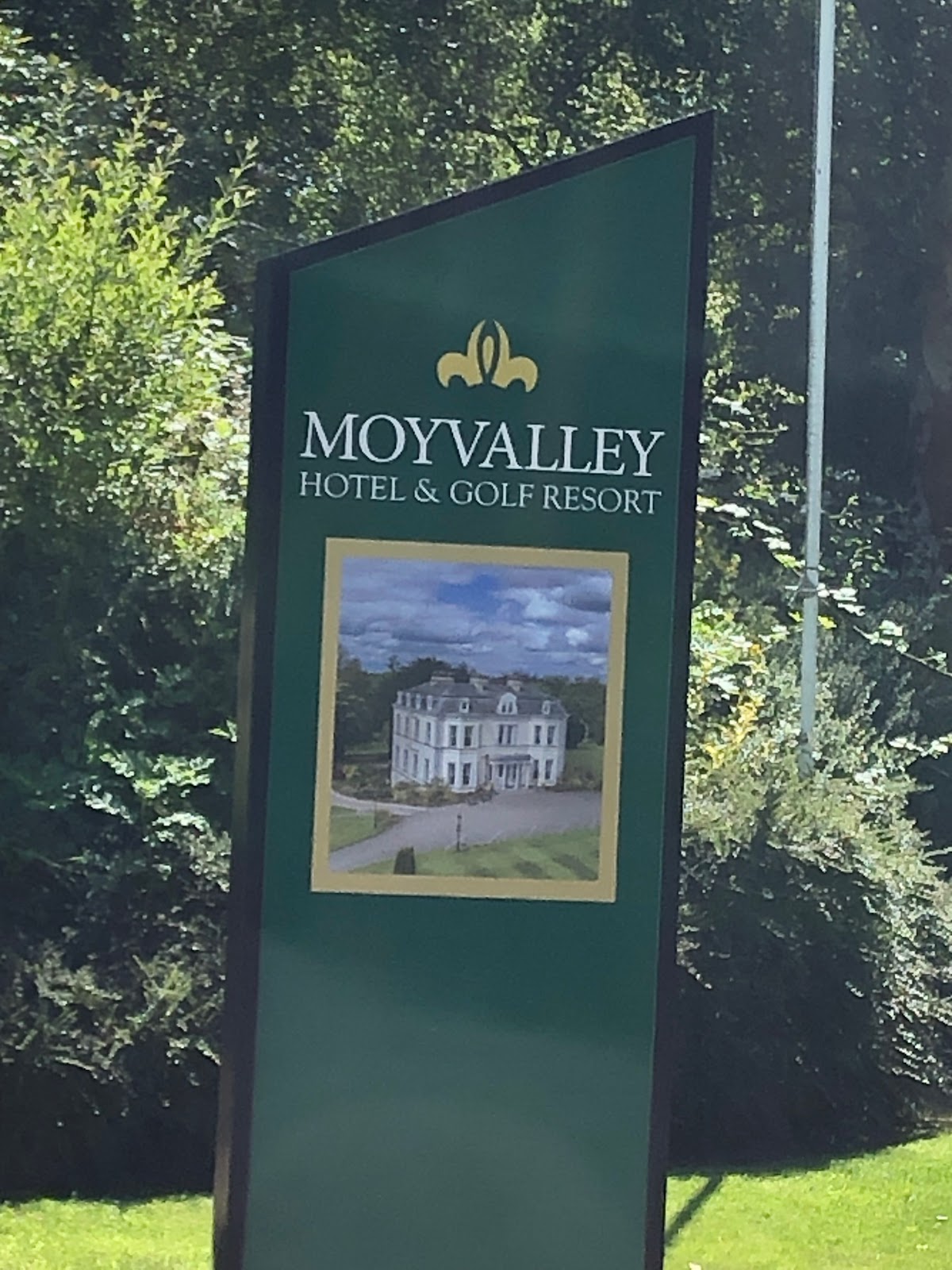
We left Mullingar at 9:45 and on a bright, warm, and sunny day and rode on the Canal Path all day. We stopped at one point and had a long conversation about our trip and bicycle touring in general with Andrea and her daughter Aoife along the Canal. We rode 38 km and EG of 290 ft. We arrived at Moyvalley Resort Hotel and Glof Course at 2 pm.
That night at dinner we met a very nice e couple Paul and Caroline whom had bicycled from outside Dublin to the resort for the night.
We left the resort at 9:30 am and rode along the Canal for 28 km. Then the path turned into a footpath . We then got on highway R148 for a while, then run into Gareth who told us he will show us the safest way into Dublin. Another 28 km along the bicycle paths and streets brought us to Dublin and the end of this amazing adventure.


 no
no


From Nadi Fiji we flew to Melbourne for a 4 nights stay. Melbourne from the beach. Captain Cook. St. Paul Cathedral. Inside St. Paul Cath...